
Owasso ZIP Code Coverage
The working postal ZIP for Owasso is 74055. That is the safe city-facing starting point, but the exact ZIP for any delivery address must come from USPS. The Census profile also lists several ZIP Code Tabulation Areas, or ZCTAs, that intersect the Owasso place geography. Those are statistical overlaps, not a claim that each is an additional Owasso postal ZIP. Keep the delivery answer, Census label, parcel county, and city-limit status as separate fields.
| ZIP or geography | Owasso connection | Postal route | Verification note |
|---|---|---|---|
| 74055 | Owasso and most Owasso mailing addresses | Owasso Post Office, 74055-9998 | Confirm an edge address through USPS; the ZIP does not prove city limits or residence. |
| 74015, 74019, 74021, 74117 | ZCTAs that Census lists as intersecting the Owasso place | Not presented as additional Owasso postal ZIPs | Find the actual mailing city and ZIP by specific address. |
| ZIP+4 and PO Box variants | More precise delivery or box routing | Assigned by USPS for the delivery purpose | They improve mail routing, not proof of a physical location or occupant. |
The Owasso ZIP code directory should not turn a ZCTA overlap into a neighborhood list. A ZIP can cross municipal lines, rural-service areas, or county jurisdictions. Start with the exact address, retain the lookup date, and only then choose the relevant city or county records office.
Census reports this place geography through five intersecting ZCTAs: 74015, 74019, 74021, 74055, and 74117. That intersection is useful when reading a Census profile or comparing broad statistical areas. It does not change a customer’s delivery ZIP, create a city-limit line, or establish whether a parcel lies in Tulsa or Rogers County. The different systems are meant to answer different questions.
Owasso 74055 Postal Route
The official Owasso Post Office listing places the office at 1233 N Cedar Street, Owasso, OK 74055-9998, with phone 918-274-9376. The listing gives weekday retail hours of 8:30 to 5, Saturday hours of 10 to 12, a 24-hour self-service kiosk, weekday last collection at 5 p.m., and Saturday last collection at 3 p.m. These are operational details, so check the current listing before making a trip.
The official Owasso Post Office listing provides the delivery-office context shown below.
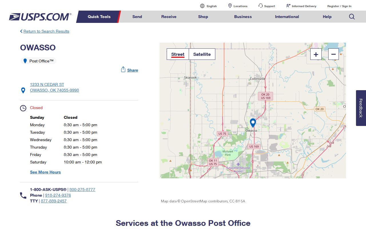
The office’s 74055-9998 address is not a shortcut for assigning 74055 to every nearby address. Use it as an official local reference, then use PostalPro’s by-address tool for the delivery answer.
Postal information can change more quickly than historical directories or an archived map. Keep the Postal Service result date with the address string. A city/state lookup is helpful for understanding a postal place, but only a by-address lookup confirms the delivery ZIP at that moment. The post office listing does not identify residents, parcel ownership, city services, or county jurisdiction.
Owasso ZIP Code Verification
USPS PostalPro offers two distinct lookups: “ZIP Code by Address,” which asks for street address, city, and state, and “ZIP Codes by City and State.” The first is the route for a particular delivery address. The second can return a broader postal association and should not be treated as evidence that a person or organization is at that address.
USPS PostalPro’s ZIP Code Lookup displays the two lookup paths used for postal verification.
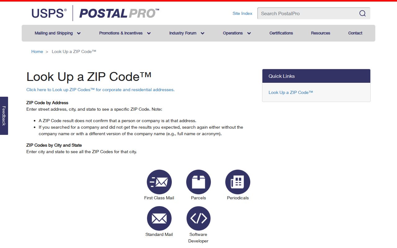
Enter the address exactly as it is being mailed, preserve any resulting ZIP+4, and save the date of the search. USPS is the delivery authority. Parcel, municipal, school, utility, and Census systems answer different location questions.
| PostalPro lookup path | Fields or result use |
|---|---|
| ZIP Code by Address | Street address, city, and state identify a delivery ZIP for one address. |
| ZIP Codes by City and State | City and state produce postal-place information, not proof of an address or current connection. |
| ZIP+4 result | Adds delivery precision within the ZIP system; it does not establish parcel jurisdiction. |
Use the returned mailing answer exactly as the Postal Service supplies it. Then compare the city map, parcel record, or a city service record according to the question. A ZIP code directory should be especially cautious with PO Boxes: their delivery code directs mail to a box and does not identify a situs address. Postal precision is useful, but it is not a legal property description.
Owasso Census ZCTA Overlaps
Census ZCTAs approximate ZIP geography for statistical work. Census guidance cautions that they are not delivery routes and may be noncontiguous or differ from current USPS assignment. The Owasso place profile’s intersections with 74015, 74019, 74021, 74055, and 74117 therefore describe geography, not a complete menu of postal labels for Owasso addresses.
Census guidance on ZIP Code Tabulation Areas is shown below.
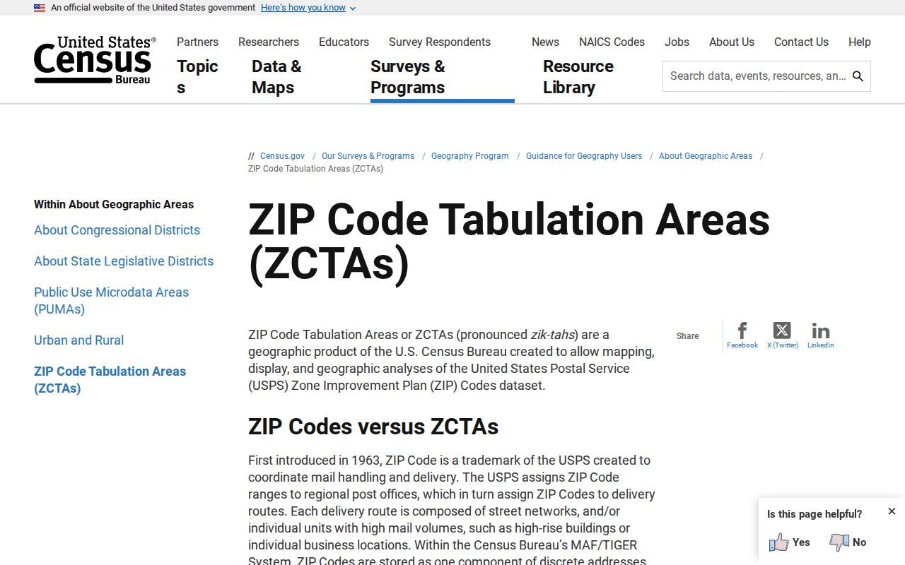
The distinction matters near Owasso’s edges. A statistical boundary can touch the place while USPS assigns a different mailing city or ZIP. Label a Census figure as ZCTA data and verify any delivery address separately.
There is no documented Owasso ZIP split or realignment in the official sources inspected. That absence is not proof that postal geography has never shifted. A historical mailing question calls for the address format used at the time and, if necessary, archived Postal Service material. Do not retroactively attach a current ZCTA or ZIP result to an older document without saying it is a modern comparison.
Note: A Census ZCTA is useful for population geography, not for mailing an item or identifying an occupant.
Search Records by Owasso ZIP
Official systems do not provide a reliable “all residents in 74055” search. The Tulsa Assessor’s observed primary form searches an address, account, subdivision, or owner, with later column filters, not a dedicated ZIP field. The Oklahoma Voter Portal uses name and date of birth rather than a ZIP-wide public query. USPS verifies delivery. These limits keep a ZIP code directory focused on geography instead of overpromising a people list.
- Verify the specific mailing ZIP with USPS and save the exact address format and lookup date.
- Check the city GIS and the county parcel route to determine municipal status and whether Tulsa or Rogers County holds the land record.
- Use the known address, parcel, subdivision, owner, or legal description in the appropriate official records system.
- Use ZIP or radius only where a named official tool visibly supports that filter, and describe the result as a filter result rather than a block roster.
Once postal geography narrows the address, use the Owasso street directory for the fuller address and parcel workflow. The ZIP alone is not a substitute for that street-level check.
The State Election Board’s portal is a service and verification gateway, not a ZIP-wide directory. Its observed fields are last name, first name, and date of birth, followed by services and district results after a match. The Election Data Warehouse has its own eligibility, attestation, and request process for authorized list requesters. It should not be presented as a casual block or ZIP search.
Owasso ZIP and City Limits
An Owasso mailing label does not establish incorporation, county, voting district, school boundary, or municipal-court jurisdiction. The City’s approximate fenceline reaches from N Memorial Road to N 241st E Avenue and from E 66th Street North to E 126th Street North, but pockets inside that planning area can remain under Tulsa or Rogers County. City limits, fenceline, postal place, parcel county, and service area are separate layers.
For a record request, preserve each answer: USPS city and ZIP, county parcel jurisdiction, and incorporated-city status. The City’s Helpful Resident Resources page directs users to both county assessors and clerks because Owasso crosses that boundary. A current city map and the parcel record are more useful than a ZIP code directory when the question is which office holds a local record.
School and utility results are separate again. Owasso Public Schools has an address lookup for elementary-school boundary and bus-route information, while the city distinguishes city water and sewer service from rural water districts. Those sources answer a service question. They should not be used to infer who lives at an address or to redraw a city or postal boundary.
Owasso ZIP Record Keys
A postal ZIP is only one search clue. County property records use the parcel, account, legal description, situs address, mailing address, or subdivision. The County Clerk’s routes can use parcel, legal description, grantor or grantee, document number, book and page, record date, consideration, subdivision, section-township-range, case, and alpha indexes. City permits use the property address. Historical directories preserve the street form printed at the time.
The Oklahoma sex-offender registry visibly supports ZIP and radius concepts, but it is a statutory public-notification record, not a census of everyone within a postal area. Similarly, an assessor mailing address can belong to a bank, family member, or PO Box. Match the key to the record type rather than treating a ZIP code as a universal search field.
On the Tulsa side, the assessor’s text search accepts address, account, subdivision, or owner and then provides column filters. Its guidance says that less is more and punctuation can interfere. On the Rogers side, the Interactive GIS requires acceptance of its terms and says the map is reference-only. In both counties, a recorded plat or deed controls legal acreage and ownership, so use the Clerk for the underlying instrument.
Owasso ZIP Code Definitions
Postal terms help keep an Owasso ZIP code directory precise. A ZIP is a delivery-routing code, while ZIP+4 adds a smaller delivery segment. A PO Box ZIP routes mail to a box, not necessarily to a physical property. Census uses ZCTAs for statistical approximation, and a carrier route is a delivery sequence, not a government boundary. None of these terms proves who is at a location.
- ZIP and ZIP+4
- A ZIP directs mail to a postal area; ZIP+4 adds delivery precision within that system.
- PO Box ZIP
- A postal code used for box delivery. It does not establish a physical parcel location.
- Unique ZIP
- A ZIP assigned for a single organization or delivery purpose. None was identified for Owasso in the research.
- Carrier route
- A Postal Service delivery sequence, not a city, county, parcel, or Census boundary.
ZIP realignment history for Owasso was not located in the official sources. Do not infer that a boundary never changed from that gap. For a current question, use the Postal Service’s result and date; for a historical one, seek archived postal material and preserve the source-era address.
Use postal information for mail delivery, Census geography for statistics, and the city or county record system for governmental jurisdiction. That simple separation keeps an Owasso ZIP code directory clear about what each result can and cannot establish.