
Owasso Neighbors Record Sources
Public sources can describe the block around an Owasso address without becoming a household roster. A city map provides spatial context such as streets, city limits, fenceline, zoning, neighborhoods, and development. The correct county assessor supplies a parcel-oriented owner index, while the County Clerk holds the recorded plat and deed material. A neighborhood map can show an organization category or boundary. Each source should be read for the limited fact it actually records.
| Source | Block information it provides | Access and limit |
|---|---|---|
| City GIS GeoViewer | Roads, municipal context, zoning, neighborhoods, development and map features | Interactive city map; exact live layer controls are visual and can change. |
| County assessor or GIS | Parcel IDs, owner index, situs and mailing fields, subdivision and legal context | Tulsa Assessor or Rogers GIS; an owner index is not an occupant list. |
| County Clerk plat | Lot, block, subdivision, easement and recorded-boundary information | Acclaim or the proper Clerk; recorded plats and deeds control legal boundaries. |
| Registered Neighborhoods map | HOA/POA, Neighborhood Network, apartment, registered and unregistered categories | City map and OSNI contact route; no private member roster. |
| Planning or annexation packet | Public process, applicant and radius-owner context, proposed boundaries | City Archive or agenda packet; dated context, not a current household list. |
Owners, occupants, organization members, and registered voters are different categories. A tax mailing field can point to a PO Box, bank, family member, or another mailing address. The map’s value is geographic: it helps determine which parcel, subdivision, county, and public office relate to the block.
The City of Owasso GeoViewer is the place to test city limits, fenceline, zoning, parcels, streets, neighborhoods, and development in visual form. City Maps calls GIS the most accurate and up-to-date zoning source, while the registered-neighborhood and recent-development experiences are separate map products. Because these tools are interactive, save the map date, layer state, popup information, and any linked record title. A screen label alone may omit an attached exhibit or the date that gives it meaning.
The Tulsa County Assessor is the practical starting point for a Tulsa-side parcel. Its search accepts address, account, subdivision, or owner text, with column filters after a result. A Rogers-side parcel instead needs the Rogers Assessor/GIS and County Clerk path. Start from the land and its jurisdiction, not a guess based on an Owasso mailing label.
Mapping an Owasso Block
Use a map-to-record flow for Owasso neighbors. Begin with an exact street address and compare the City GeoViewer with the county parcel route. The city map supplies municipal context, but GIS is a reference layer. On the Rogers side, the Interactive GIS terms expressly say recorded plats and deeds control legal acreage and ownership. The Tulsa side uses the Assessor’s parcel card as an index before the Clerk’s recorded instrument.
- Locate the address in the City GeoViewer and note its roads, city-limit or fenceline context, subdivision, and nearby parcel shapes.
- Determine whether the parcel falls in Tulsa or Rogers County, then save the assessor account, parcel identifier, and legal description where available.
- Inspect surrounding parcel context as a map question, not a claim about who occupies each property. Compare situs and mailing fields carefully.
- Take the parcel or legal description to the appropriate County Clerk for the plat, deed, easement, or other recorded instrument.
- Use a dated City Archive, permit, planning, or annexation record only when it directly relates to the same place and date.
For a full named-street sequence rather than the immediate block, use the Owasso street directory. The block method stays focused on adjoining parcels, plats, and geographic context.
On a Tulsa parcel card, preserve the situs address, owner mailing address, account type, parcel, subdivision, lot or block if present, section-township-range, zoning, and sales or document clues. These facts create a handoff to the Clerk. They do not identify who sleeps at the parcel. The Assessor itself warns that it is not the statutory ownership repository; the recorded instrument is the legal transaction source.
A plat can answer a block-shape question that a mailing label cannot. It can record lot and block, subdivision, easements, and boundaries. A map may display a plausible line, but the research’s Rogers County disclaimer says recorded plats and deeds control legal acreage and ownership. A surveyor or title professional is the appropriate specialist when a legal boundary determination is needed.
Owasso Neighborhood Map Categories
Owasso’s registered-neighborhood program distinguishes formal HOA/POA areas from voluntary Neighborhood Networks. The city’s 2024 map legend also distinguishes apartment areas, registered and unregistered areas, inside and outside city limits, and areas without an HOA. These labels explain the public organizational context around a block. They do not identify every member, resident, dues status, or private contact.
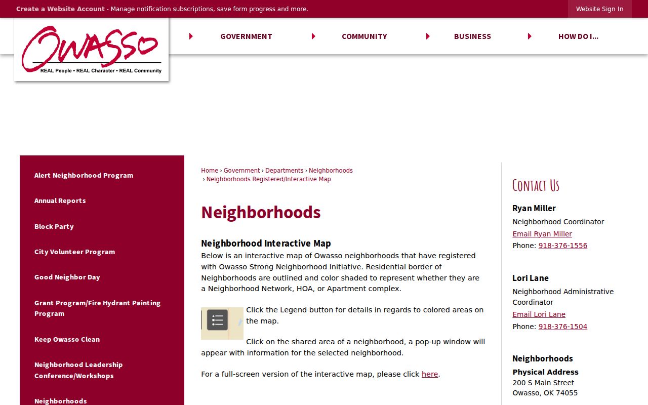
The City of Owasso Registered Neighborhoods map shows the categories used for neighborhood context.
An HOA or POA can have mandatory membership through its governing documents, dues, common areas, bylaws, boards, and deed restrictions. A Neighborhood Network is voluntary, has no dues, and does not enforce covenants. Use the map’s organization or public-contact route, not a presumed membership list.
Two nearby Owasso blocks can therefore have different public trails. One may be in a formal association, another in a voluntary network, and another in an apartment or no-HOA category. The category may help frame questions about an agenda, a public meeting, or a plat, but it does not convert private association material into a government record. Treat the boundary as a map fact and the organization’s public route as the limit of the available contact information.
Owasso Neighborhood Contact Limits
The neighborhood map supports public organization context, while the Owasso Neighborhood Initiative, or OSNI, offers a city program and contact route. It does not create a public roster for any category. The city’s Nextdoor agency presence also communicates official announcements but says city staff cannot see secure neighbor communications. Public meetings, workshop notices, agendas, and presentations are more appropriate civic records than private group messages.
| Visible city category | Public use | Not assumed public |
|---|---|---|
| HOA/POA inside city | Boundary, organization type, and public contact or presentation route | Member list, dues status, private communications, or household roster |
| Neighborhood Network | Voluntary boundary, registration, and OSNI organizing context | Individual participation or private contacts |
| Apartment category | Map category and general complex or neighborhood context | Unit occupancy or a resident list |
| Outside-city or unregistered category | Jurisdiction clue from the legend | City registration, city services, or organization membership |
Note: Public neighborhood boundaries describe geography and organization type, not the identities of Owasso neighbors.
Public process records can offer a different kind of neighborhood context. City workshops, public meetings, agendas, planning presentations, and City Archive results may identify a street, subdivision, ordinance, plat, annexation, rezoning, permit, or capital-improvement topic. Search the archive with an exact street or subdivision and save the meeting date, packet page, map attachment, and legal description. A search-result title may not capture the full request or decision.
Owasso Annexation Edge Checks
Owasso’s approximate fenceline runs from N Memorial Road to N 241st E Avenue and from E 66th Street North to E 126th Street North. It is not the incorporated boundary. Land inside the fenceline but not annexed remains under Tulsa or Rogers County, which affects the correct assessor, Clerk, and city-service record route. A mailing address that says Owasso is not enough to resolve that question.
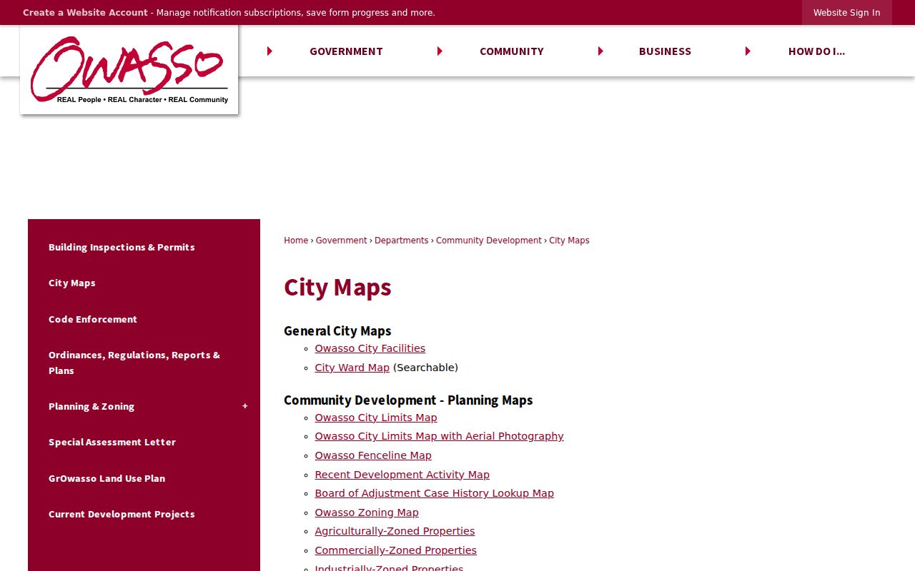
Owasso City Maps provides the municipal, fenceline, zoning, and neighborhood map context shown here.
Annexation materials can be especially useful when a public process involved a property. The city guide requires a certified 300-foot radius owner report for an annexation proposal, but that report is a dated public-process record, not a present neighborhood list. City agendas should be checked for current status before relying on an older ordinance or map.
The city’s recent materials illustrate why date matters. A March 2026 agenda packet concerns property partly annexed in 2015 under Ordinance 1062 and zoning in 2018 under Ordinance 1138. September 2024 planning minutes address 9727 E 116th Street North and incorporation or road context. They show how a parcel’s administration can change, but neither item should be used to assert a current status without checking current maps and agendas.
For an address on the county edge, preserve three answers before contacting an office: the USPS city and ZIP, the county parcel jurisdiction, and the incorporated-city status. Then route a deed or plat question to the correct County Clerk, a valuation question to the Assessor, and municipal zoning or neighborhood questions to Owasso’s city sources.
Owasso Neighbor Source Comparison
Official records and commercial neighbor tools serve different purposes. A county parcel record ties a named party to a particular administrative or recorded role. A city map explains spatial context. A commercial category can collect names and addresses from many sources, but can be stale, mix similar names, and omit the source date or access limitation. Treat the official custodian as the route for a question about a specific parcel, public process, or court record.
| Official source | Commercial neighbor category |
|---|---|
| Identifies a known record keeper, date, field, and access limit. | Can combine records with different dates and rules. |
| Supports a direct request for the underlying parcel, plat, or agenda record. | May not show the source document or current jurisdiction. |
| Requires the reader to respect redactions and protected addresses. | Can overstate a name or mailing match as a current fact. |
Commercial tools also cannot solve the county split or distinguish a physical address from a tax mailing field on their own. A name match needs a source, a role, and a date. If the question is about a land transaction, request the recorded instrument. If it is about a proposed project, inspect the dated city packet. If it concerns an old household, use a dated directory or archive rather than presenting a compiled result as current.
Owasso Neighbor History Clues
A block can change names and jurisdiction over time. Owasso’s original town-site plat was signed in 1904, and original street names changed around 1960. A dated directory, deed, newspaper, or family record may therefore use Oklahoma, Kansas, Missouri, or another source-era street label instead of the current one. Preserve the printed name first and use a modern cross-reference only as an aid.
For a historical question about former Owasso neighbors, use a dated directory, the Owasso Ledger, City Archive material, TCCL, or Oklahoma Historical Society collections alongside the correct parcel chain. The 1920 and 1921 Tulsa directory scans include numerical street sections, but a source-era entry remains a historical snapshot rather than a claim about a current block.
The Owasso Ledger’s observed digital run is limited to nine issues, 72 pages, from December 16, 1904 through March 24, 1905, even though the title began in 1903. It can reveal public notices, names, businesses, and streets from that interval, but it is not a complete run. For a fuller historical search, combine it with TCCL, OHS, courthouse, microfilm, and archive fallback rather than relying on a zero result from one digital collection.
Owasso Neighbor Privacy Limits
Public map and land material must be handled with care. Oklahoma’s Address Confidentiality Program protects the physical address of eligible participants through substitute-address and protected-voter handling. Public-employee home addresses, voter application source documents, Social Security numbers, driver-license and state-ID information, recent vital certificates, and many juvenile, sealed, expunged, adoption, and protected family-law records are not ordinary neighbor-lookup material.
Do not infer a household from a deed, parcel card, ZIP, voter record, school-boundary result, utility area, or neighborhood map. Do not reconstruct a protected location, extract private communications, or bypass a login, redaction, court order, or eligibility requirement. Correct a factual error by giving the custodian the record identifier, source date, and supporting documentation.
Oklahoma’s voter data rules make the distinction clear. The public administrative data can include items such as a voter ID, precinct, municipality, county, registration date, and certain election dates or method fields, subject to exceptions. The application source document, Social Security number, driver-license or state-ID information, telephone number, race or ethnicity, and protected ACP information are not public lookup material. The portal itself uses name and date of birth for verification, not as a block-search form.
Lawful personal use. Use Owasso neighbors records for legitimate civic, historical, or safety context. Oklahoma law prohibits stalking and repeated harassment; a public map or index does not permit unwanted pursuit, intimidation, or exposure of protected data.